Geofencing for smart urban mobility. Summarizing the main findings of work package 2: Pilot Design and work package 3: Piloting
Research report
Published version
Permanent lenke
http://hdl.handle.net/11250/2643877Utgivelsesdato
2020Metadata
Vis full innførselSamlinger
- Publikasjoner fra CRIStin - SINTEF AS [5802]
- SINTEF Community [2248]
Sammendrag
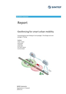
Norwegian cities are heavlly affected by car traffic, which brings major challenges related to efficiency, safety and the environment. In GeoSUM cooperative ITS and geofencing will be used to develop new tools to meet these challenges. Using geofencing, digital zones is defined on a map and specif1c rules inside these zones can be transmitted to the vehides. This technology is a prerequisite for the future transport system, for instance to make seif-driving vehicles a reality. This report sums up the finding from work package 2: Pilot Design and work package 3: Piloting of the GeoSUM project and area collection of the (sllghtly rev ised) project notes written within these two work packages. In short, it contains an overview of the functionality of the GeoSUM pilot-cases, technical and HMI designs for the pilots, overview of the data to be collected and details of how the two pllots where conducted in practlce. Please note that some of the notes included in this project might change during the rest of the project period, and that updates may occur.
